Hiking

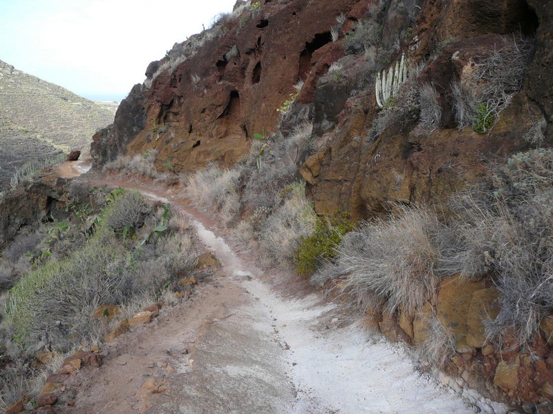
Hiking can be one of the best ways to enjoy nature. And trekking along the trails of the Canary Islands is one of the best ways to experience a landscape full of contrasts: dense forests, volcanic plains, sharp cliffs, sandy dunes, or places that look like jungles. These paths lead hikers through a unique environment that radically changes its appearance in just a few kilometers and sometimes involves significant elevation differences.

Engaging in hiking on the Canary Islands is an experience that will take you far, both physically and mentally. In addition, most routes offer peace of mind and the assurance that they were traced by experts - they are officially recognized and properly marked, with all the necessary measures for hikers of all levels.
Climbing the iconic Pico del Teide mountain (3718 m.a.s.l.)

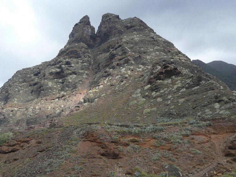
A trip to the summit of the Canary Islands The Teide National Park is located in the center of the island of Tenerife and offers several trails, including those that lead to the summit of the volcano. Starting from Montaña Blanca, this highly challenging route due to progressive elevation gain (from 1367 to 3718 meters) takes about six hours to Altavista refuge. You can spend the night here if you have obtained prior permission to wait for the morning and climb the final section to the Teide crater.

A demanding but unique hiking trail The hiking trail combines a track and a path in its nine kilometers, passing through large geological points of interest such as Montaña Rajada, Mina de Pómez, Huevos del Teide, Estancia de los Ingleses, and Rambleta. In the final part, the Telesforo Bravo trail passes through lava channels to reach the volcano's crater. Don't forget suitable clothing and footwear, as well as food and cold drinks. You will appreciate a jacket for the chilly morning at the summit.

Baranco de Masca

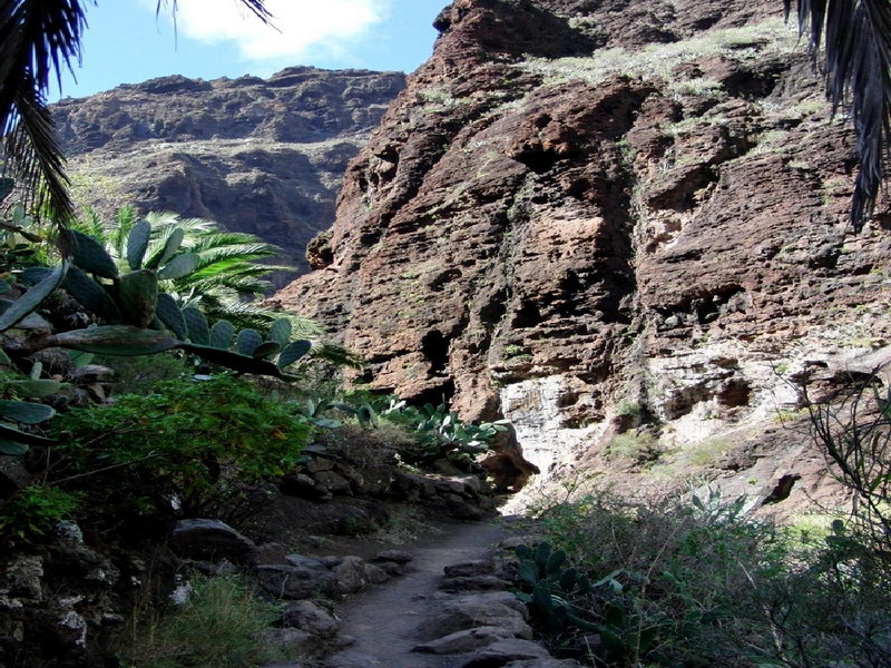
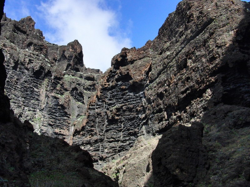
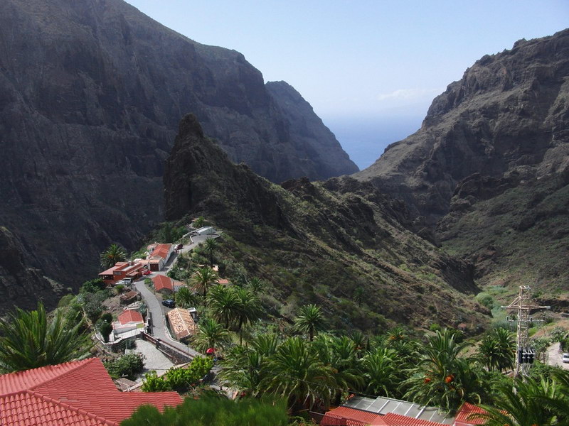
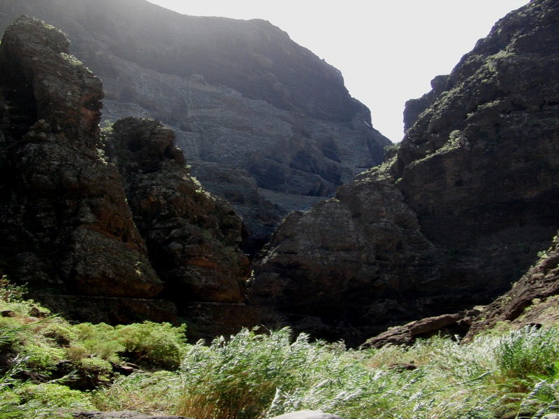
A canyon between villages and endemic plants Located in the northwest corner of the island of Tenerife, in the municipality of Buenavista del Norte, Barranco de Masca runs through one of the oldest areas of the Canary Islands with a history of seven million years. It is a canyon with a section of narrow vertical walls that leads to a small dock. The route is not very long, but the slope and uneven terrain increase the difficulty. You should have appropriate clothing and footwear for hiking, as well as food.

Hiking from the summit to the beach With four kilometers in length and 580 meters in height, the hike through the canyon begins in the village of Masca over a wooden bridge that crosses the stream for the first time. The path changes sides to avoid going against the current, which is strong in winter and leads to the area of irrigation canals and small orchards. At the mouth of the canyon, you can already see the cliffs of Los Gigantes, where it is possible to arrive by boat if you have made the corresponding reservation in advance.

Cruz del Carmen-Punta del Hidalgo

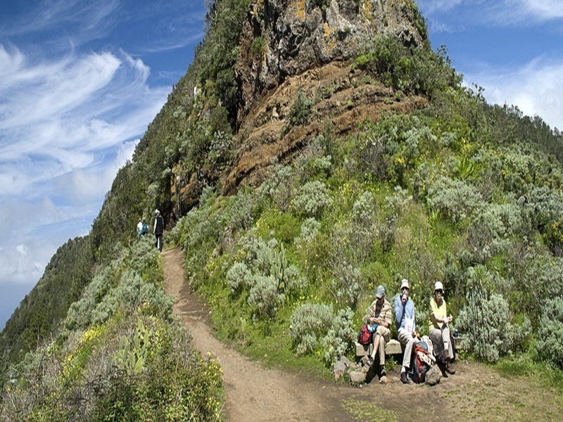
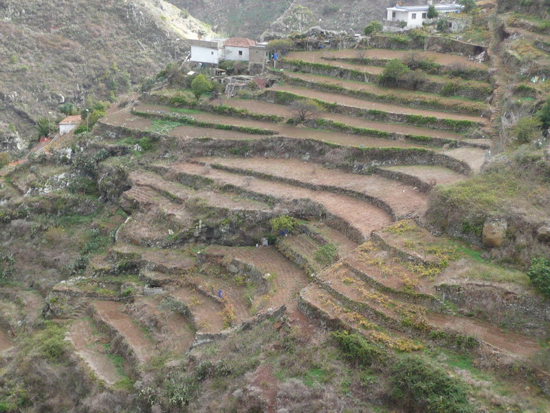
A hike through the botanical richness of Tenerife The trail that connects Cruz del Carmen with Punta del Hidalgo consists of three sections distinguished by the type of vegetation in the surroundings of the rural Anaga Park, located in the northern part of Tenerife. The first part of this route, between Cruz de el Carmen and Las Carboneras, is dominated by laurel, which then gives way to small areas of farmland until reaching the area of Chinamada. The last section of the hike descends all the way to sea level, with a predominance of shrubbery in Punta del Hidalgo.

The path from the top to the beach Ten kilometers in length and a maximum slope of 916 meters. This trail has a moderate difficulty due to the combination of a hiking path, a forest path, and some paved sections. The approximate duration is four hours, and don't forget to bring suitable equipment and footwear for this descent to the coast, as well as food and fresh water. And don't forget your camera to take home a souvenir of the stunning views across the La Laguna plain at the Aguaide viewpoint and the panoramic view of the Anaga coast.